METRO Universal Accessibility Bus Stop Optimization
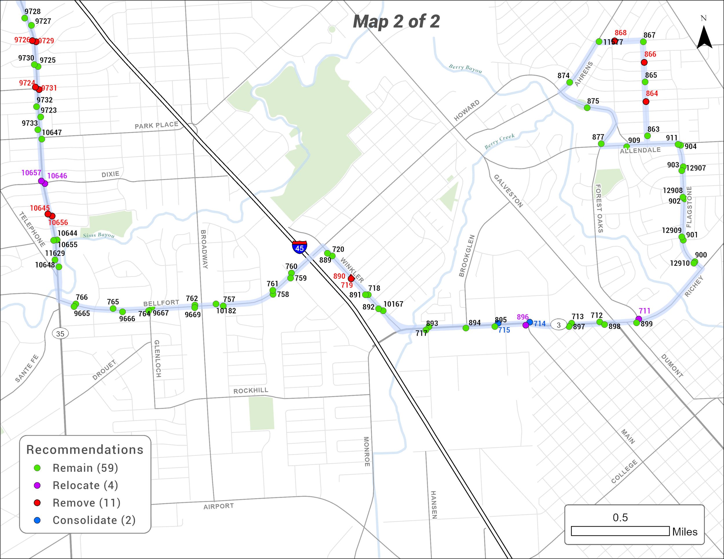
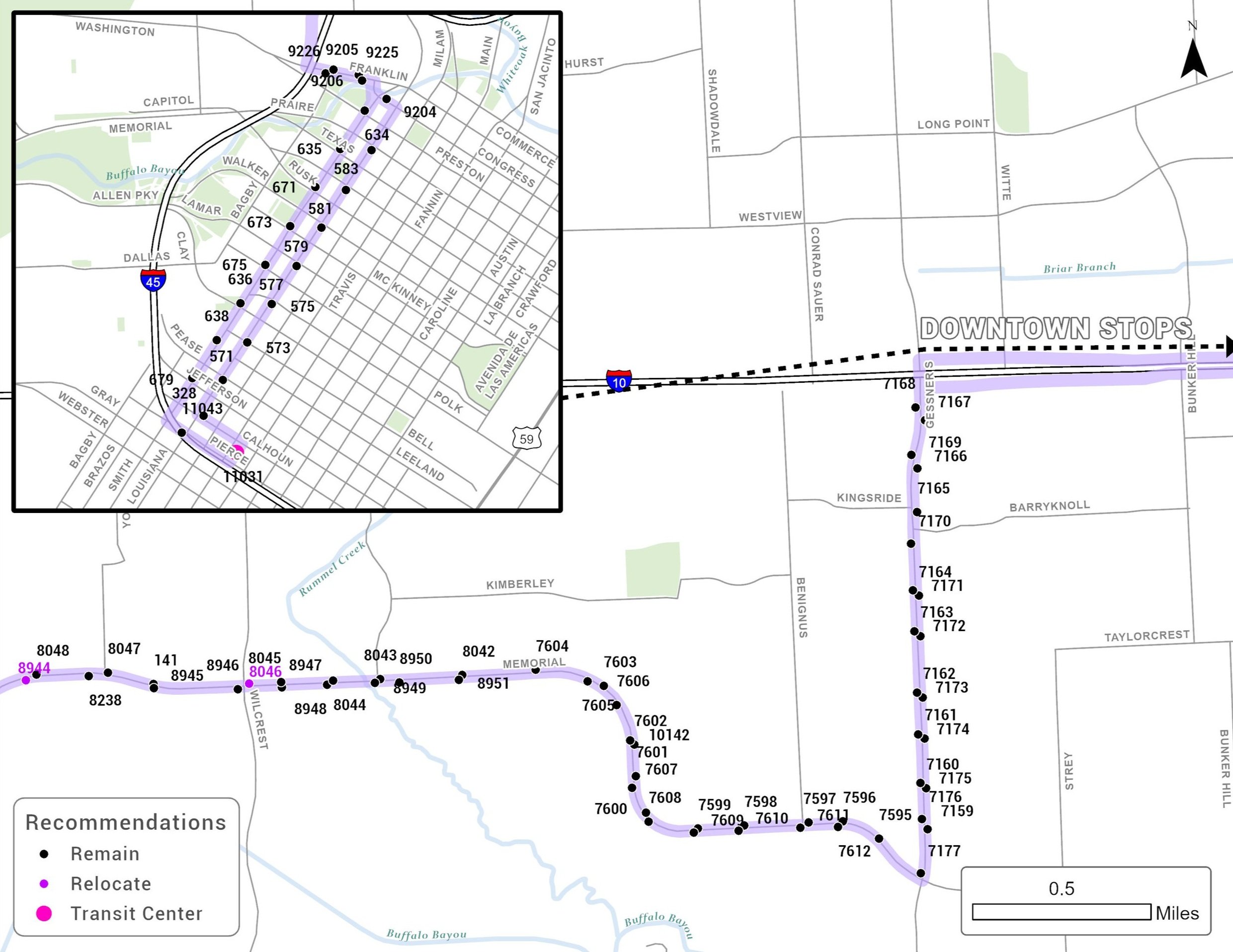
TGC completed bus route optimization studies for 11 bus routes operated by the Metropolitan Transit Authority of Harris County (METRO). Over 1,200 bus stops were reviewed as part of this effort. The primary objective of stop optimization is to provide quicker, more reliable service with less frequent stop-starts through the removal or relocation of bus stops. The optimization process involved the evaluation and identification of bus stops to remain, followed by identification of bus stops for possible removal or relocation based on several factors established by METRO. As part of this effort:
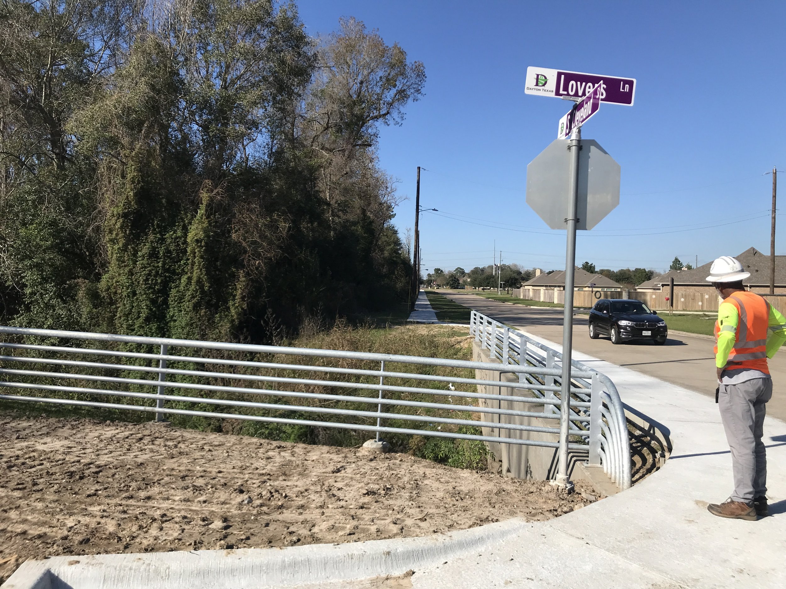
TGC developed an ArcGIS Field Map base map and attributes table to electronically collect bus stop information during the field visits. Field visits consisted of taking photos of the stops and measuring running slopes, cross slopes, landing pads and shelter pads. The objective of the field data collection was to verify that each stop met design compliance as per 2020 City of Houston Infrastructure Design Manual. Additional things noted included whether the stop was nearside a signalized intersection and if there were any obvious trip generators in the area.
TGC developed a bus stop optimization model to run analysis for the Bus Stop Optimization of the routes. Work included spatially analyzing data sets from the City of Houston, Harris County Appraisal District, and Business Analyst in ArcGIS to locate major Trip Generators and apartment complexes within 1,000 feet of bus stops serving a particular Bus Route. Other data analyzed in this tool included weekday daily activity, distance between stops, routes served per stop, and Boost stops.
“It has been a pleasure working with [TGC]!”
Sectors: Mobility & Transportation Planning; Transit Planning & Facility Development
Services: Data Collection, Technical Analysis, Bus Stop Optimization
Explore More Projects
For additional information or questions, contact TGC to learn more about our services, our team, and our mission to connect capital to communities across Texas and beyond.

